
Maps
~ Information Graphics
~ Hand drawn illustration
Maps are powerful tools for educating and providing orientation to viewers. They are a unique combination of visual metaphor, spatial representation, user experience, and imagination. Designing and illustrating maps fascinates me and continues to be one of my favorite types of work.
TYPE: CLIENT WORK & SELF-PUBLISHED
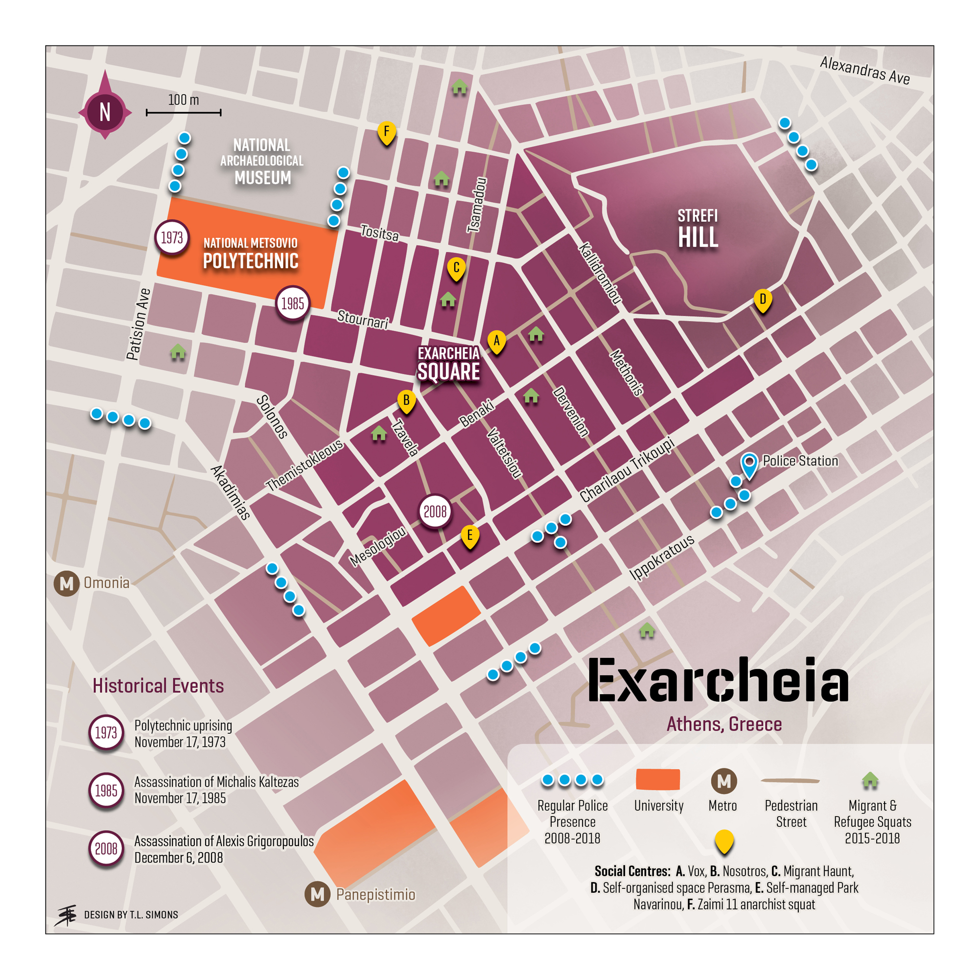
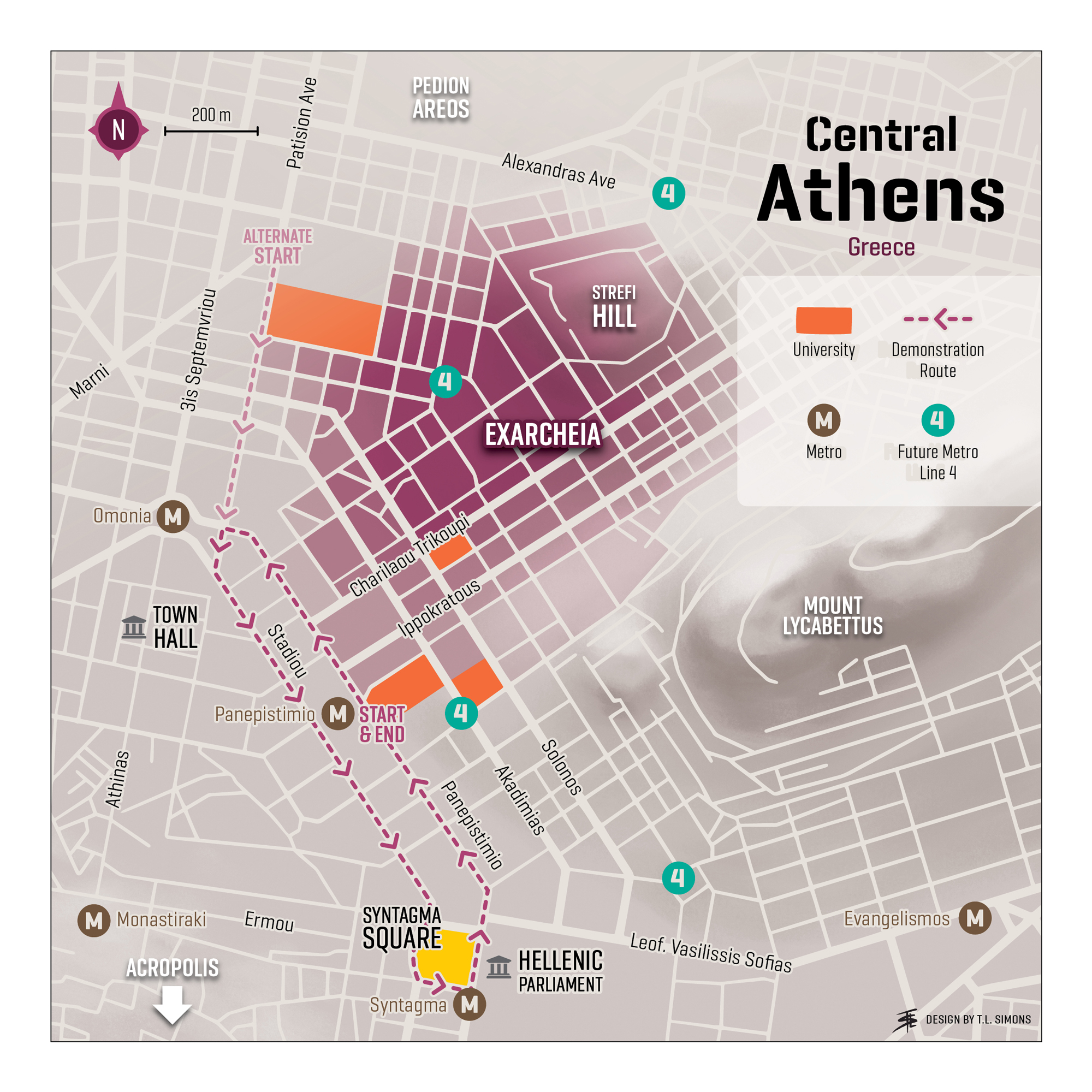
Above: Maps for Spatial Politics and the Spatial Contract in Exarcheia, Athens, Greece (1974-2018) in the journal ‘Transactions’ of the Institute of British Geographers, 2019
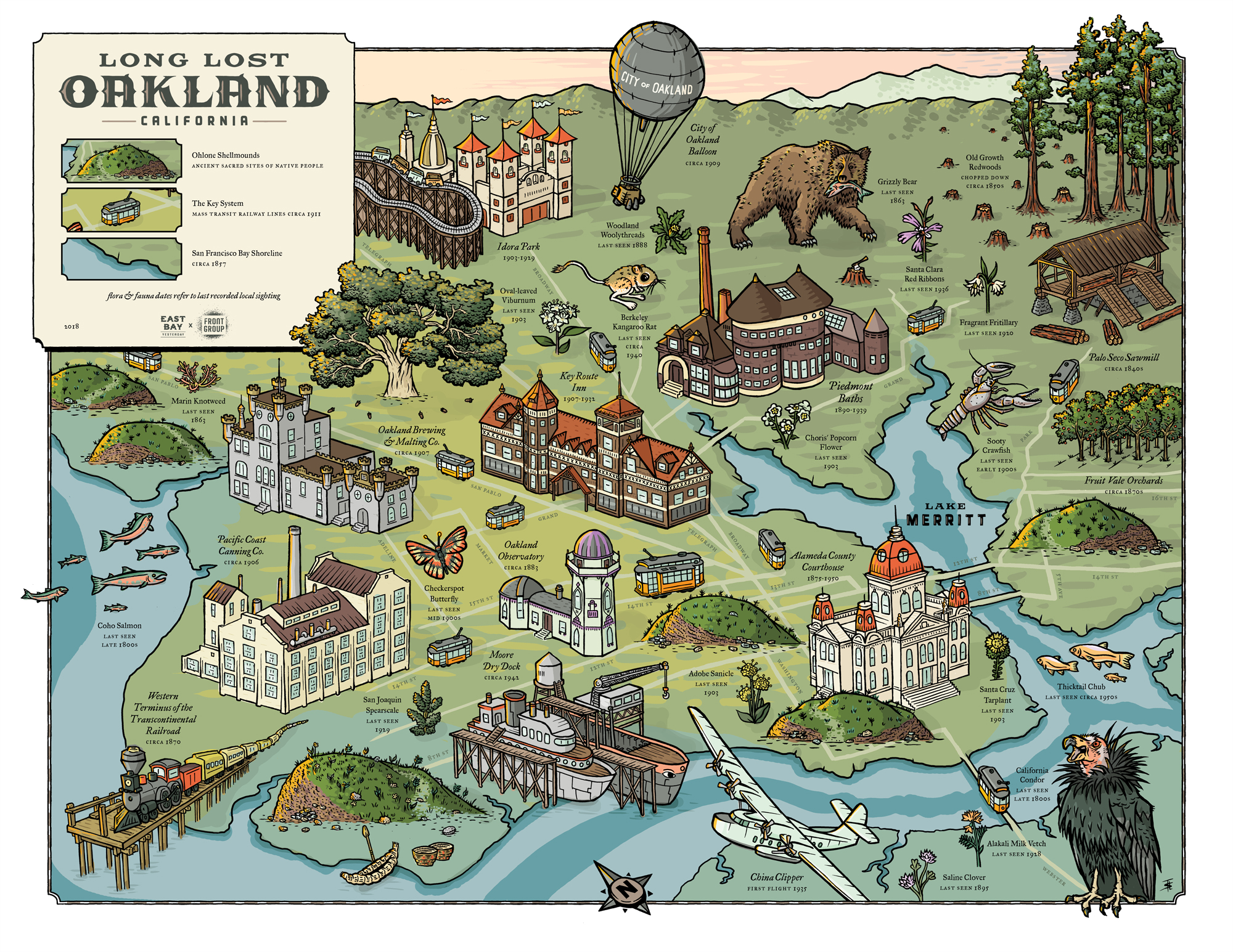
Above: The Long Lost Oakland map published as a collaboration with ‘East Bay Yesterday’, 2018.
Click here to view more of this project.
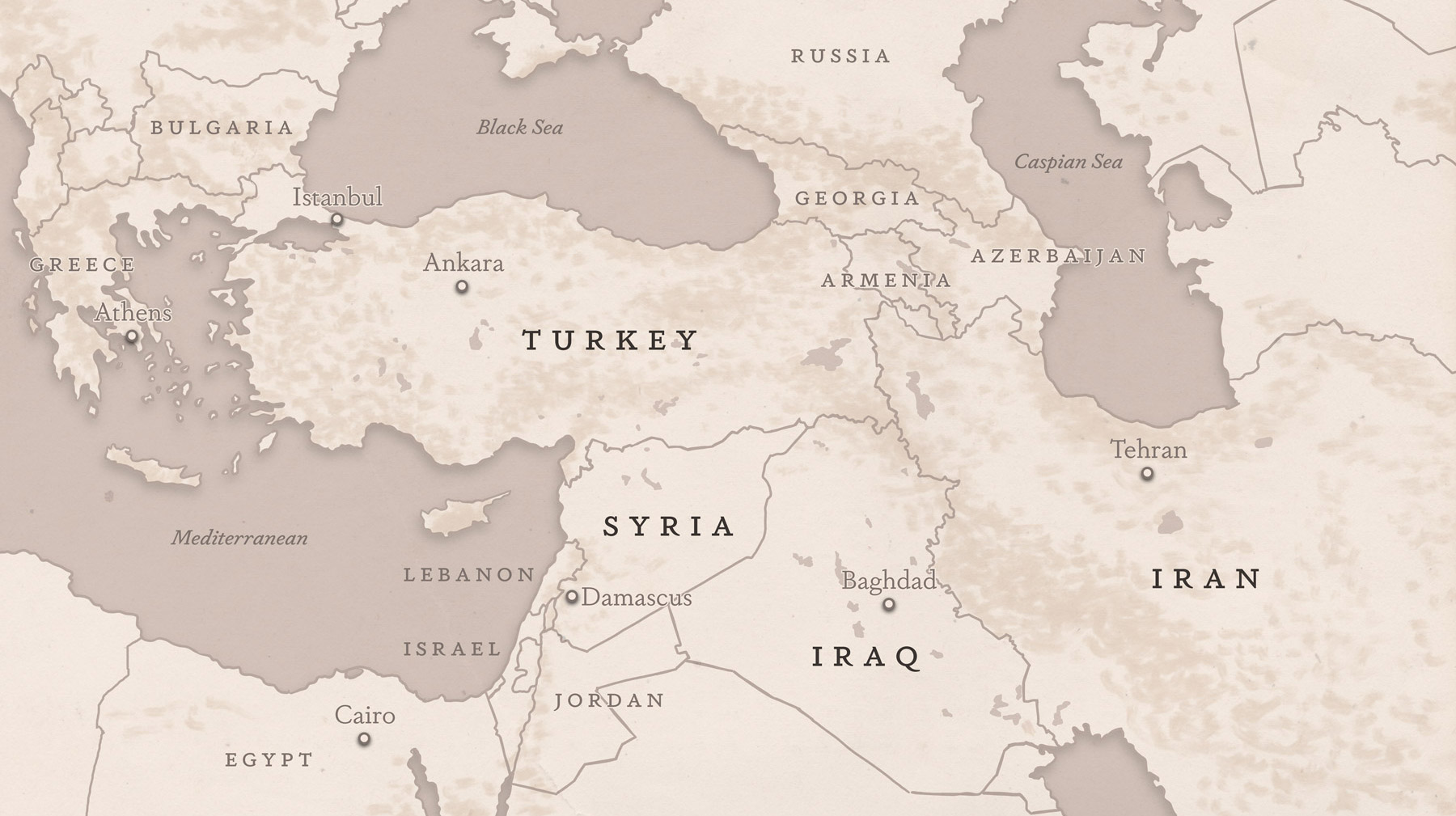
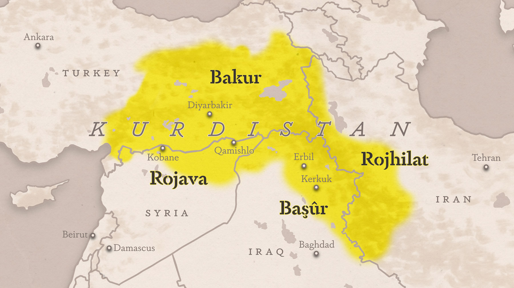
Above: Maps of Kurdistan for the film Voices of Bakur published by Commune Magazine, 2019
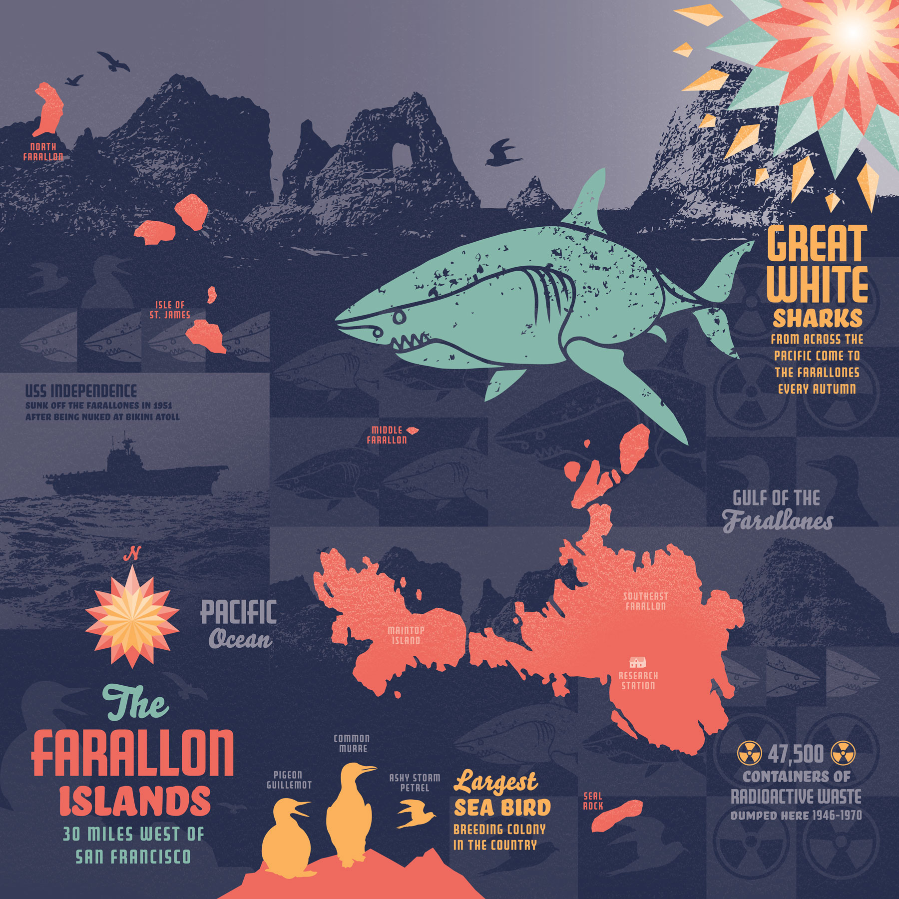
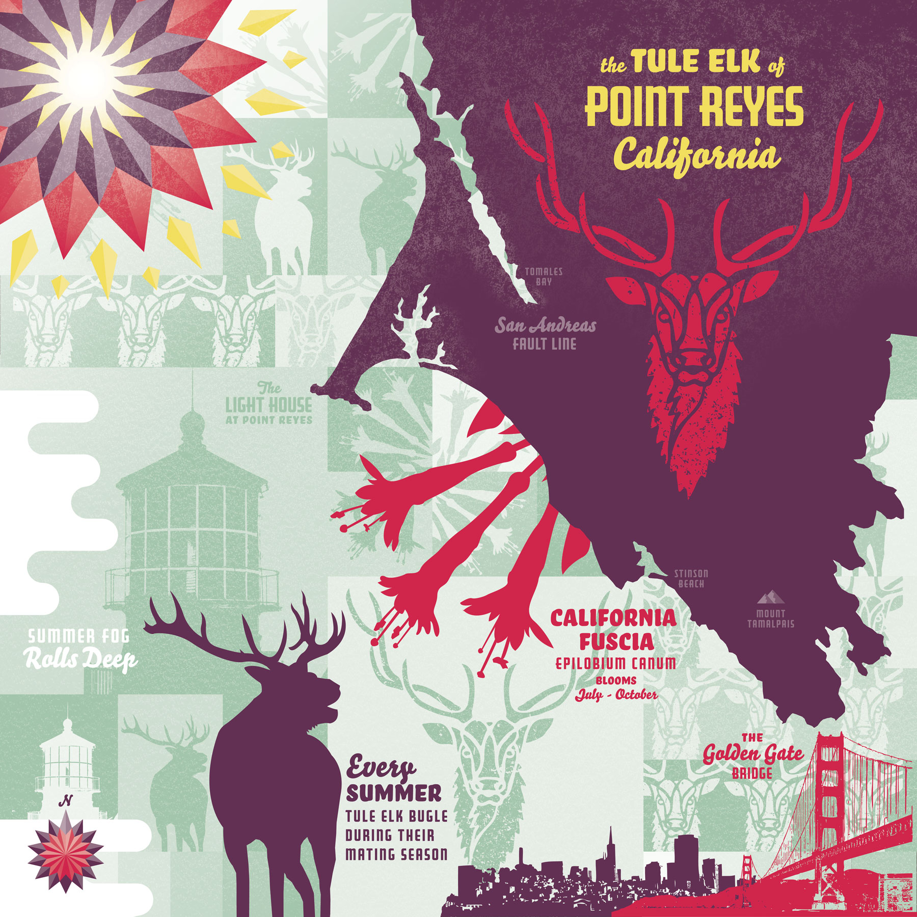
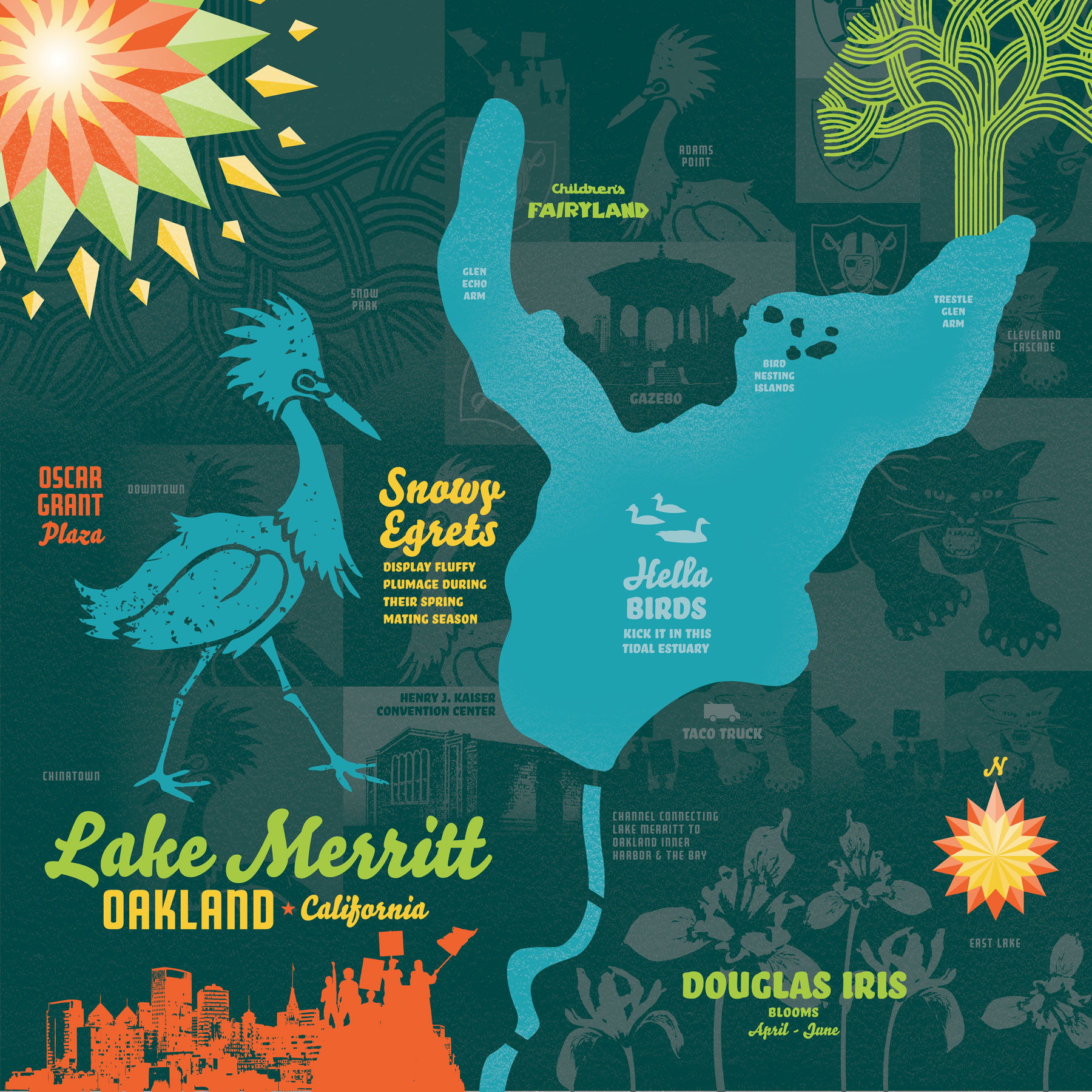
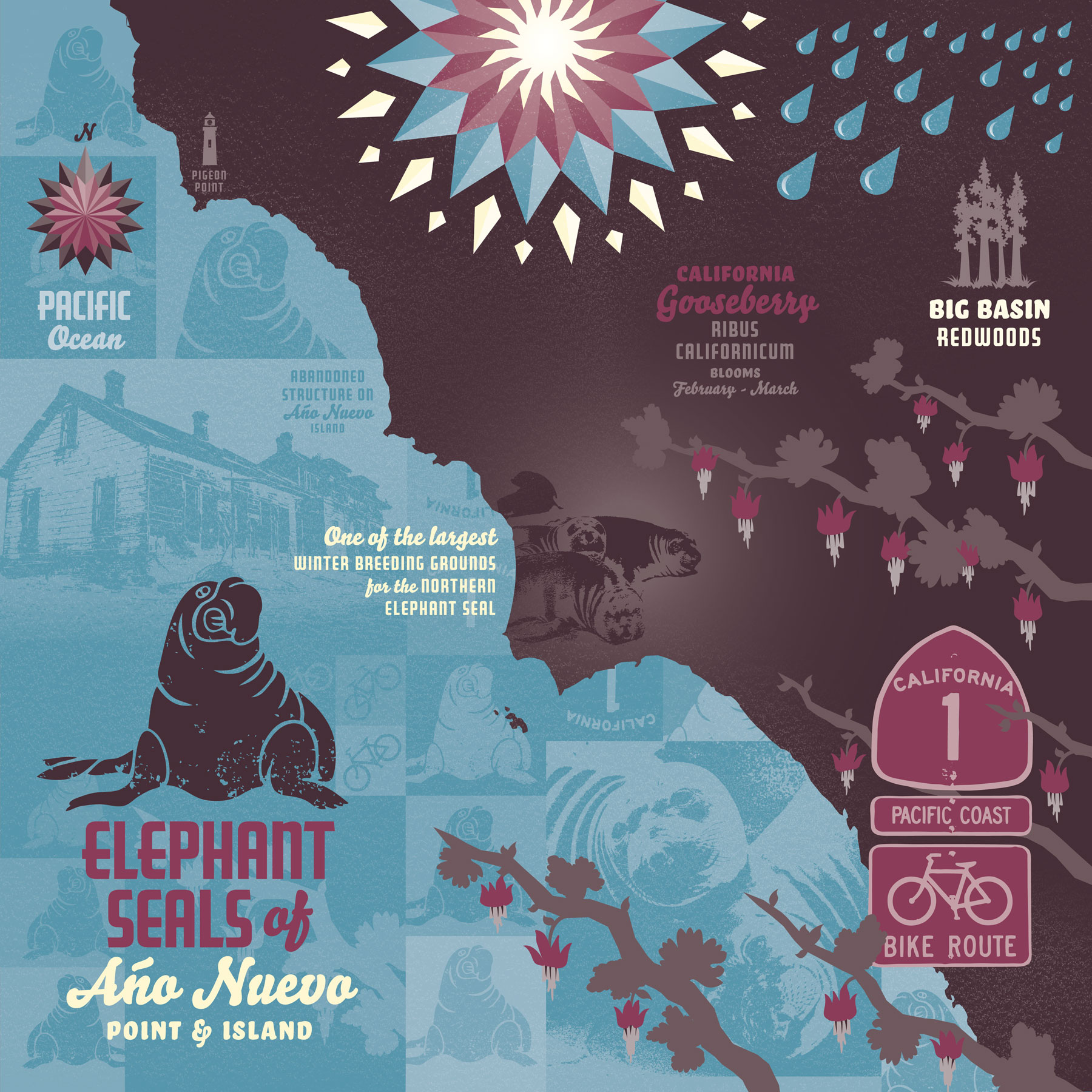
Above: Conceptual maps of locations around the Bay Area that correspond with each season for a quarterly calendar published by ‘Front Group Design’, 2013
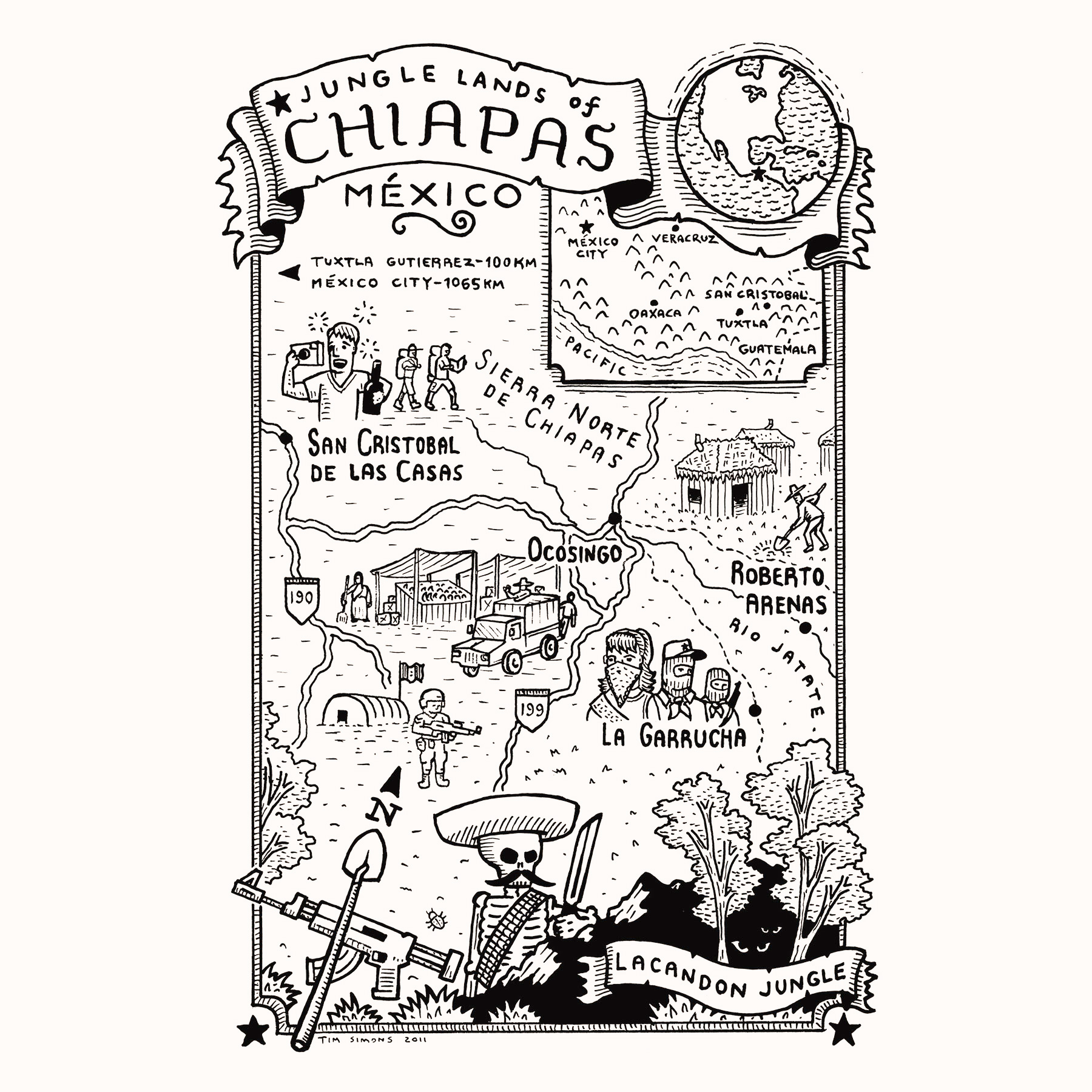
Above: Hand drawn map for Zapatista Spring by Ramor Ryan, published by AK Press, 2009